
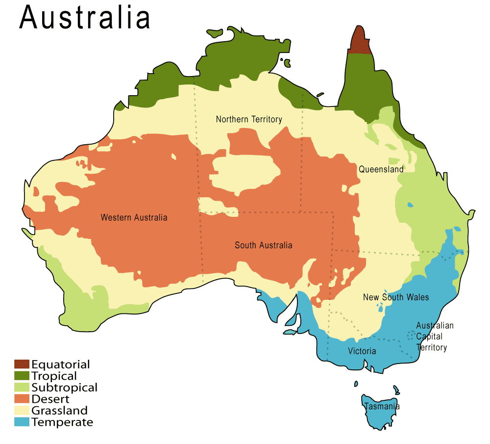
Climate Map
From the name of the map you can guess that climate map shows the temperature of land. It contains a lot of colors and each of them have a special meanings. For example, equatorial, tropical, subtropical, desert, grassland and temperature. These maps normally use colors to show different climatic areas.
No comments:
Post a Comment